Commercial Satellite Industry: Technology and Trends
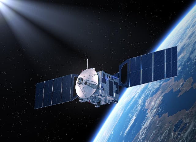
The web of remote sensing satellites surrounding our planet to capture any changes on Earth’s surface has been growing exponentially. Satellites provide us with imagery to extract key data, as such they can be an effective means for monitoring in different spheres. The growth of the commercial satellite industry is offering new opportunities for businesses of all sizes.
Earth imagery via satellites is still advancing due to constant improvements in terms of spatial and spectral resolutions possible due to a variety of international satellites circling our planet. Besides, the enhancing means of access to the multi-resolution free live satellite imagery imply even more opportunities for data collection and analysis for its further use.
In this article, we will shed light on satellite technology and the trends surrounding its development and application.
Satellite Industry Trends
The main trend in the satellite industry is the commercialization of high-resolution Earth imagery. This is no longer just for governmental organizations. More and more companies each year launch satellites to record and transmit images with precision up to one meter.
There are already numerous satellite imagery providers that allow for searching and downloading these pictures for different purposes. Some platforms offer even already processed images ready for further integration. And this satellite imagery shopping trend shows no signs of stopping. Easily accessible, affordable, high-resolution, Earth imagery will inevitably find application in nearly all industries on a global scale.
Satellite Technology Capability and Application
Satellite sensors record specific wavelengths of light to provide images with different details and information. For instance, panchromatic (black and white) imagery implies much higher resolution if compared to color imagery. However, as pan images are of a higher resolution, they are more expensive.
As for multispectral imagery, it composes several light bands – infrared, red, blue, green, and some parts of the thermal spectrum. The bands record separately, then layer together resulting in a composite color image.
Panchromatic images found their use in local, county, and urban planning. Often for street mapping, road map updating, and more. As for the applications of color imagery, it depends on the bands the sensor was measuring.
For instance, red, green, and infrared spectral modes are best for vegetation health monitoring and chlorophyll content measuring. Near- and middle-infrared range measurements can help researchers evaluate moisture levels in the leaf or plant.
Unlike optical sensors that measure light energy reflecting from objects, there are also radar sensors that transmit microwave energy. Which the objects reflect a portion of back to the satellite. Satellite radar allows for receiving information on an object’s texture, size, depth, and reflectivity. Most importantly, users can retrieve the data at any time, even at night and under the condition of a cloudy sky.
That is why radar satellite imagery is highly effective in detecting different surfaces beneath the ground cover. Such as, monitoring oil spills at night, or monitoring tropical forests, which usually have a high level of cloud cover.
Now that we know about satellite technology and its capabilities, let’s see what the current satellite industry market looks like.
Satellite Industry Market Overview
Modern satellites can not only do more than ever before but also at a lower cost. The satellite industry is set to provide us with high-quality and reliable information for GPS navigation, change monitoring, weather forecasting, imaging, and other services based on remote sensing technology.
Satellite imagery alone is now used for different commercial purposes. This includes environmental monitoring, agriculture, military and defense, mapping of engineering sites, etc. However, the largest user on the commercial satellite imagery market is the military and defense sphere. Likely due to a variety of security and surveillance applications that defense organizations actively utilize.
The technologies, trends, and market overview of the current commercial satellite industry only prove that satellites find their use in a variety of verticals. They will most probably expose more opportunities in the future.